“This Land Is Your Land, This Land is My Land …”
The brightest gem in the Gem State is without a doubt its public lands. From the Sawtooths to the Tetons, the landscape is as beautiful as it is rugged, and worthy of exploring and preserving.
“In the West, outdoor recreation always seems nearby and available,” says outdoor enthusiast and Driggs resident Anna Kirkpatrick. Anna and her husband Ken made a goal on January 1, 2018, to spend time every single day outdoors, from neighborhood bike rides to full-day adventures hiking their favorite trails or exploring nearby public lands. At the start of 2021, the couple reached day 1,095, and are still counting.
“Although we still enjoy taking trips to the national parks, it’s nice to just take a walk in the afternoon and see moose and cranes,” Kirkpatrick says. “Living in this valley with the ability to just drive a few miles and be in the wilderness is priceless.”
The Numbers
More than six out of every ten acres in Idaho are public land, owned by either the state or federal government. With more than 35 million acres of public land, out of 53 million total acres of land, Idaho contains more public land than all but three states in the country (those are Utah, Nevada, and Alaska). Most U.S. public land is located in the western part of the country—less than 5 percent of land in the eastern half of the U.S. is federally owned.
In Idaho, Forest Service and Bureau of Land Management land make up the largest portions of public land, with 20.5 million acres and 11.8 million acres, respectively. Other federal land in the state is managed by the National Park Service, military, and other federal agencies.
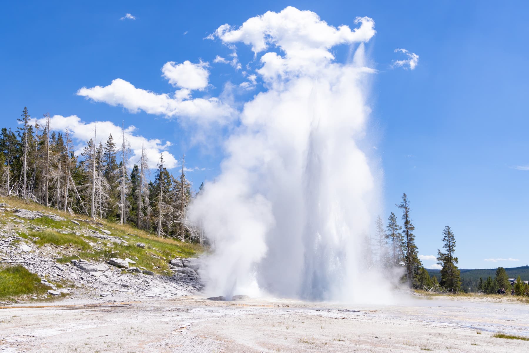
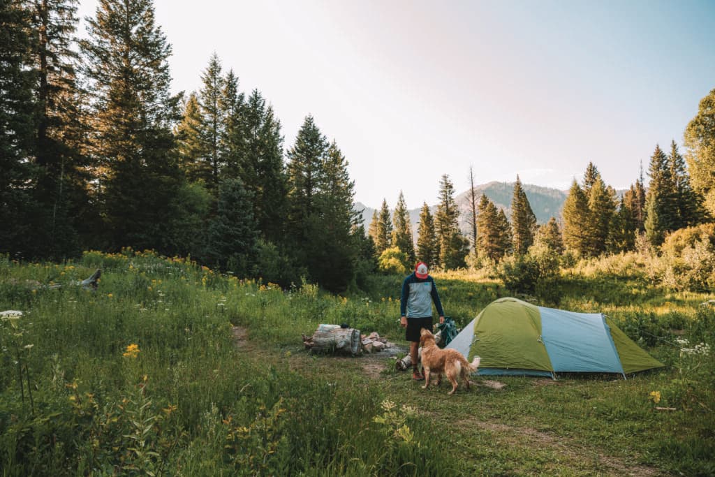
In Teton Valley, our backyard playground is public land: the Caribou-Targhee National Forest (CTNF). Residents and visitors alike cherish spending time in the forest, from hiking and backpacking in the Jedediah Smith Wilderness, to snowmobiling in Island Park and hunting and fishing in the hills and riffles to fill the freezer.
Nearly all the acreage in the CTNF is located within the Greater Yellowstone Ecosystem—the largest mostly undisturbed ecosystem in the Lower 48. Originally two separate national forests, the Caribou and Targhee national forests were combined in 2000, creating the more than three-million-acre national forest we have today. It includes the Curlew National Grassland near Malad, which holds a stretch of the historic Lander Trail, an Oregon Trail cutoff. The grassland also contains valuable habitat for the greater sage-grouse, mule deer, and other wildlife.
Three developed ski resorts are on CTNF land: Grand Targhee Resort on the Teton Basin Ranger District, Kelly Canyon on the Palisades Ranger District, and Pebble Creek on the Westside Ranger District. Many commercial ski resorts include private property, such as where lodges are located, but the skiing itself typically takes place on public land. For example, if you’re standing in line for the Dreamcatcher Lift at Grand Targhee, you’re on private property, but when you’re skiing down from the top, you’re in the CTNF.
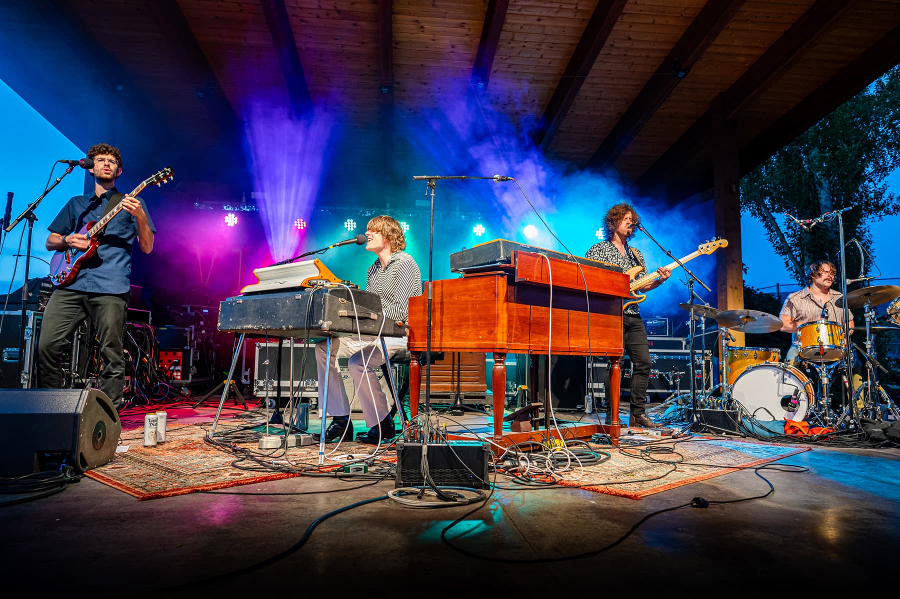
Every year, 2.5 million people recreate on the CTNF, from enjoying thousands of miles of trails for hiking, off-highway vehicle (OHV) use, biking, horseback riding, and snowmobiling, to skiing, hunting, fishing, and birding. The forest contains segments of the Continental Divide National Scenic Trail, Nez Perce National Historic Trail, Highline National Recreation Trail, Big Springs National Recreation Water Trail, and more.
Recreation on public lands adds a huge boost to the local economy. On a national level, outdoor recreation is an $887 billion per year industry, providing 7.6 million jobs. In Idaho, the outdoor industry is also an economic giant. Outdoor recreation results in $7.8 billion in consumer spending each year, and $2.3 billion in wages and salaries (with 78,000 Idaho jobs), with $447 million raised in state and local tax revenue. Visitors to the CTNF spend over $73 million annually.
“Having public land and public space is a benefit to so many people and so many things,” says Betsy Mizell, Central Idaho Director for the Idaho Conservation League. “Number one, it’s a [necessity] to wildlife for them to have a place where they can roam and be, especially with so much development happening and with climate change.” She also points out the economic benefits. “People’s jobs depend on it,” Mizell says. “So, some people who work in the mining industry, work in logging, their lives depend on those resources.”
Mizell highlights the importance of protecting public land. “If you destroy a place, there’s no value in it,” Mizell says. “There’s a lot of dollar gain in protecting public lands.”
Teton Valley’s Bureau of Land Management (BLM) lands are managed through the Upper Snake BLM Field Office, which is responsible for a cumulative 1.8 million acres in southeast Idaho.
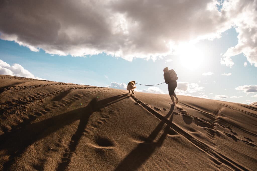
Visitors come to BLM lands to enjoy blue-ribbon fishing along the South Fork of the Snake—an area that receives 250,000 visitors a year and is managed cooperatively with other agencies. The St. Anthony Sand Dunes are also a huge draw, with 250,000 visitors a year enjoying riding UTVs, motorcycles, dune buggies, and other mostly motorized vehicles.
While many of the state’s national forest lands are fairly well known, BLM sites—which are often lower elevation, sagebrush-covered landscapes, unlike the more mountainous national forests—are lesser known.
“We’re a little underrated,” says Jeremy Casterson, Field Manager for the Upper Snake BLM Field Office. “I think the sagebrush is a little underrated. People want to see trees and peaks, which I love too… I think sometimes we understate the value of the sagebrush steppe ecosystem.”
Casterson points out the BLM sites encompass valuable wildlife habitat and are often gorgeous, hidden gems. “It’s sometimes nice they’re a little bit more [of a] secret than some of the extremely well used Forest Service campgrounds, or especially the parks,” Casterson says, pointing out that one can find solitude at a sparsely used BLM site far more easily than in a place like Yellowstone National Park.
Public land is for all users

No matter your activity level or interests, public lands are for all. In fact, as a tax payer, you are a public land owner. So take a walk, go on a hike, or hit the trails on a bike. But remember to know before you go. The activities allowed on public land depend on a wide variety of factors, including which agency manages the land.
Multi-use agencies, like the Forest Service and BLM, typically offer opportunities for not only recreation, but also livestock grazing and extractive activities like timber harvesting, oil and gas extraction, mining, and mineral extraction. Commercial activities, including harvesting firewood to sell or guiding clients on trips, are often allowed with proper permits.
“Our public lands serve as conservation and recreation areas, as well as places [for some commercial uses],” says Jen Piperno, an avid public land user and program manager for Teton Regional Economic Coalition and the Teton Valley Chamber of Commerce.
“Public lands are also educational spaces,” she says. “They teach us about human history and colonialism, geologic time, and ecology, as well as wildlife and natural resource management challenges. I’ve been fortunate enough to be an educator on public land and to witness how these spaces inspire questions, spark reflection, and engender creativity.”
The National Park Service manages lands very differently. With a mission of “preserv[ing] unimpaired the natural and cultural resources and values of the National Park System for the enjoyment, education, and inspiration of this and future generations,” the rules are typically more restrictive in national parks and monuments.
For example, in most national parks, chopping down a tree would not be allowed. However, on the CTNF, with proper permits, harvesting trees is allowed, from collecting firewood to finding the perfect Christmas tree, to commercial timber operations under special permits. Likewise, cattle grazing is not permitted in most national parks, but such activities are often allowed on Forest Service and BLM lands, as long as permits are secured and certain rules followed.
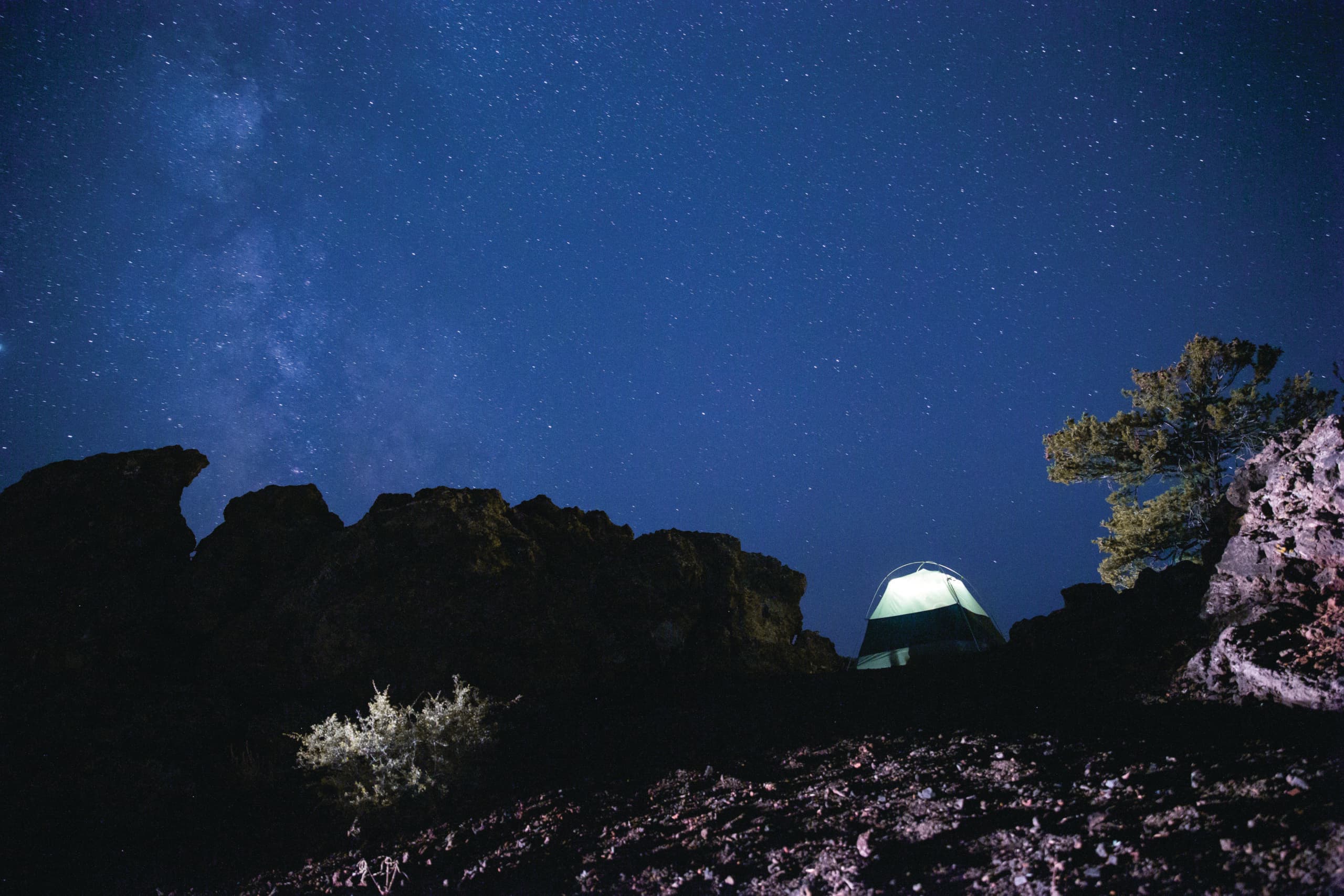
Camping in national parks is often limited to developed campgrounds, and backpacking is restricted to a certain number of campers obtaining permits and staying in designated units or sites. The BLM and Forest Service provide developed campgrounds, but the agencies also allow for dispersed camping, which is far less restrictive.
However, wilderness areas—which are individually managed by various agencies—have different restrictions to protect them. These specially designated wilderness areas make up about 14 percent (4.8 million acres) of Idaho’s public lands, and 9 percent of the state’s total land area. Regulated by the Wilderness Act of 1964, they allow only non-mechanized recreation, so you can’t drive or bike in them, but you can hike or ride a horse. According to the Wilderness Act, “A wilderness, in contrast with those areas where man and his own works dominate the landscape, is hereby recognized as an area where the earth and its community of life are untrammeled by man, where man himself is a visitor who does not remain.”
The closest wilderness area to Teton Valley is the Jedediah Smith Wilderness in the CTNF, which was established under the Wyoming Wilderness Act of 1984. It contains many popular areas for hiking, camping, horseback riding, skiing, hunting, fishing, and other activities.
Conflict on public lands
Public land is shared land and, with so many different users, sometimes conflicts flare up. Controversies can involve consumptive, extractive, and commercial uses of the land, while prescribed burns can also cause conflict due to temporary closures and smoke making outdoor recreation unpleasant.
Jay Pence, District Ranger for our local Teton Basin Ranger District, explains that one of the causes of conflict is changing use over the years. “On my ranger district, one of the larger controversies that I’m dealing with is the changing demographics of Teton Valley,” he says. “It used to be more rural and oriented toward equine use, horseback riding, and walking. It changed when people started using motorcycles here in the ’80s.” Pence notes horseback riding, hiking, and motorcycles were the area’s primary uses until ATVs became popular and, more recently, mountain bikes and fat-tire bikes. He works to help meet the needs of all user groups.
On BLM land, Casterson says he doesn’t typically see a lot of conflict among user groups. “We do have livestock grazing on most of our acres, but we don’t hear of a lot of conflicts between recreators and livestock grazing, for example,” he says. “People go out and say, ‘Okay, well I see a few cows here,’ but it’s usually not anything that impacts their recreation experience,” though he does mention occasionally people will leave a gate open and cows will get out, frustrating ranchers.
“As long as people are using good stewardship and good ethics to look out for each other; the same thing as if you have different kinds of uses like if you have mountain bikes on the same trails as motorcycles, the vast majority of the time you have people looking out for one another and giving each other the right of way and making sure those uses coexist together,” Casterson says.
Stewardship on public lands
Being a good steward of public lands means working to protect the land and care for it, whether that translates to staying on a trail, picking up your trash, or spending your time volunteering. On the CTNF, volunteers do crucial work on everything from trail maintenance to fencing projects and stream restoration. Groups come together to hold workdays to help with an array of projects.
For active users like Anna and Ken, taking the necessary steps to learn about good stewardship is key.
“Being a good steward of public lands means taking the time to find out what you should and shouldn’t do to keep our lands as pristine as possible,” Anna says. While basic steps like not riding on trails during mud season are more easily understood and practiced, others, she explains, like how to not disturb birds during nesting, take a little more education.
“The more that people feel like they have some stake in the long-term viability of these places, the more they’re apt to speak up for them,” Aceto says.
Good stewardship can also mean giving back. Jen Piperno has volunteered with a dozen environmental nonprofits, which she recommends as a way to familiarize oneself with local conservation issues and to participate in stewardship projects and research.
“As a recreationist, I’m conscious of my impact on public lands—avoiding highly trafficked areas when I can, always practicing Leave No Trace principles, and abiding by the usage policies of the land that I choose to recreate on,” she says.
Land management agencies like the Forest Service and BLM also encourage people to stop by their offices to learn more, ask questions, and express their opinions.
“If you’re curious about your public lands, we would encourage you to come into your local ranger district office and talk to us,” Pence says. “That’s part of our job. We love to interact with people and let them know what we’re doing and see if they want to help.”